
Valley rain and mountain snow showers expected today; strong winds possible across southwest Montana


HIGH WIND WATCH is in effect from late Monday morning through Monday evening for the Canyon Ferry Area, Missouri Headwaters, Madison River Valley, Gallatin Valley, Northwest Beaverhead County, Beaverhead and Western Madison below 6000ft, Ruby Mountains and Southern Beaverhead Mountains, Gallatin and Madison County Mountains and Centennial Mountains - including the following locations: Monida Pass, Ennis, Wisdom, Raynolds Pass, Wise River, Pony, Dillon, Harrison, Chief Joseph Pass, Waterloo, Big Sky, Bozeman, Big Hole Pass, West Yellowstone, Willow Creek, Bannack, Three Forks, Gallatin Gateway, Whitehall, Dewey, Townsend, Targhee Pass, Glen, Jeffers, Cameron, Norris, Toston, Winston, and McAllister. Southwest winds 30 to 40 mph, with gusts up to 60 mph, are possible. Travel could be difficult, especially for high profile vehicles.
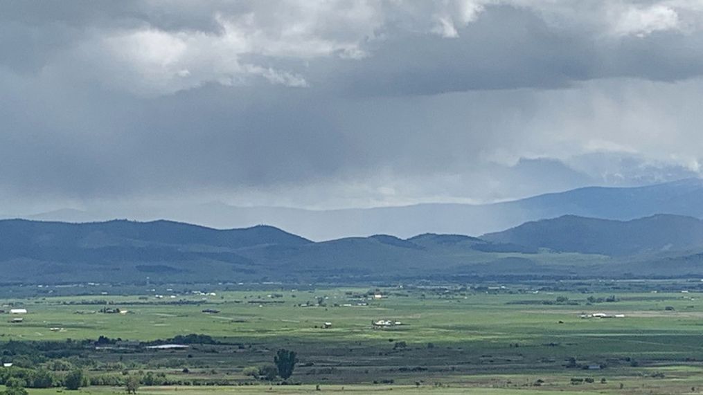
A cold upper level trough of low pressure has settled over the area. Small disturbances within this trough will help develop scattered valley rain showers and a few thunderstorms. Currently saturated soils have increased the risk for isolated flash flooding with any persistent heavy showers and storms. Some mountain snow showers are possible as well. Snow levels are between 5000 and 6000 feet and will continue this way through Tuesday. If you have plans in the backcountry during this period of time, be prepared for raw conditions. Daytime highs will be in the upper 50s and low 60s with lows falling into the 30s and 40s.
Overall, Wednesday and Thursday should be warmer and drier days as the trough retreats back to the west. Daytime highs in the 60s and 70s, overnight lows in the 30s and 40 and partly cloudy skies are all expected.
The trough looks to return, moving through the area Friday and Saturday, bringing with it another round of showers and thunderstorms.
